


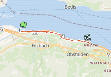
Linthmündung - Mülital

SityTrail - itinéraires balisés pédestres
Tous les sentiers balisés d’Europe GUIDE+

Lengte
3,5 km

Max. hoogte
621 m

Positief hoogteverschil
412 m
Km-Effort
9 km

Min. hoogte
418 m

Negatief hoogteverschil
402 m
Boucle
Neen

Markering
Datum van aanmaak :
2022-02-14 09:09:33.74
Laatste wijziging :
2022-02-14 09:09:33.74
2h02
Moeilijkheid : Gemakkelijk

Gratisgps-wandelapplicatie
 SityTrail
IGN / Geografische instituten
SityTrail Plus
De wereld gaat voor u open
Over ons
Tocht Te voet van 3,5 km beschikbaar op Glarus, Onbekend, Glarus Nord. Deze tocht wordt voorgesteld door SityTrail - itinéraires balisés pédestres.
Beschrijving
Symbol: gelbe Raute
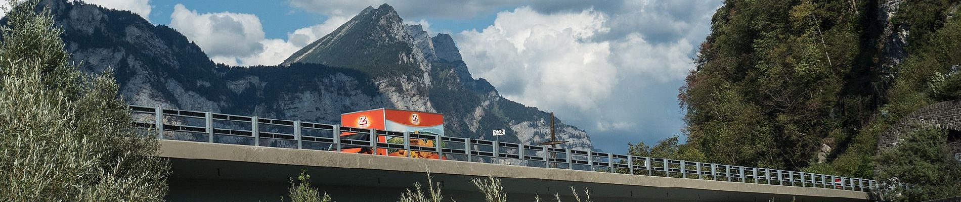
Foto's


Plaatsbepaling
Land:
Switzerland
Regio :
Glarus
Departement/Provincie :
Onbekend
Gemeente :
Glarus Nord
Locatie:
Unknown
Vertrek:(Dec)
Vertrek:(UTM)
508955 ; 5219140 (32T) N.
Opmerkingen